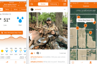
Hunting in unfamiliar areas has never been easier then with the OnX Hunt app.
Once I was introduced to the OnX Hunt app, there was no looking back. Determining public and private property lines, landowner contact information, and studying an area's topography has never been easier. This all-in-one app has made hunting preparation, both on and off the field, a breeze.
https://youtu.be/EoKw7hnPX_M
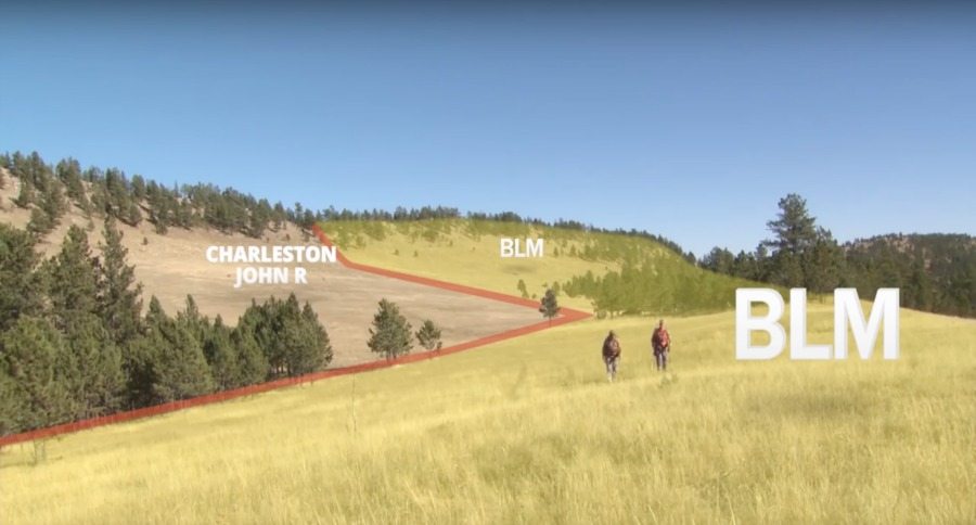
You can view public and private property lines simultaneously with species-specific hunting zones. This can be shown on top of various types of base layers, allowing you to see the entire lay of the land while determining where you can hunt.
Curious about a specific piece of property? Simply click on the parcel and you will get a list information including the name of the contact, their location, address, elevation, the number of acres, hunting unit, season dates, and management designations.
All of this information syncs between your smartphone, tablet, and desktop.
I recently the app to map out a hunting area in Wyoming. Looking for hunting land is difficult when you reside 1,000 miles from the destination. However, with the OnX Hunt App, I was able to find the boundary lines for public property, call up landowners, and look at the elevation and imagery for each location, allowing me to know exactly what to expect.
The app also provides tracking information while you are on your hunt. This includes your track, and even includes a built in compass.
The best part? The app works without cell service. The maps are downloadable your phone's built in gps will record your track and distance information while your on your adventure, with or without cellular reception.
You can find out more about the app, as well as try out a free trial here.
NEXT: WANT TO BAG A MATURE COW ELK? GOOD LUCK