Paper maps might seem old fashioned but they still have great value. Here's how to get every topo map of every area of the United States for free.
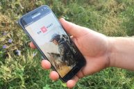
Paper just seems so old-fashioned these days, doesn't it? It seems like practically everything we view is seen through the screen of some handheld device. Of course that's an exaggeration, but you get my drift. The great thing about a paper topo map is that you never have to worry about the batteries running out to view it.
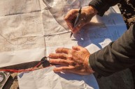
Paper topo maps are just as useful today as they once were and have just as much utility as they always did, sometimes moreso. Besides the lack of reliance on batteries, they are portable, weatherproof if you laminate them, weigh next to nothing, have a practical field application when used in conjunction with a compass, and have a tactile nature that is oddly comforting.
Here's how to get every U.S. topo map for free.
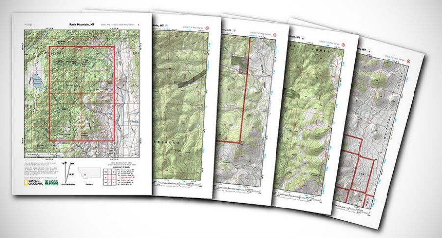
Go to National Geographic Maps PDF Quads page and drag the interactive map to the center of the area you're interested in. Once you're in the general area, click on enlarge tab of the map to get closer. Enlarge the region until you see the small red rectangles that are at the center of each USGS 7.5 minute quad.
Click on the red rectangle and a small window with a quad map will appear. Click that image and a PDF page will pop-up displaying each of four topo maps in that quad, plus an illustration of the four quads in one complete area map to start with.
These maps contain all of the info you'd expect to find on a fully detailed topo map, such as elevations and depths in lakes, shading, land features, minutes, etc..
Simply print them with your printer on standard sized paper. For the price of a few sheets of paper and a little ink, you can build a library of your favorite hunting, fishing, hiking or camping spots. I'd suggest laminating them for durability.
It's a fantastic resource, and best of all, it's free!
So hang onto your modern technology, for sure, but supplement your essential woodsman's gear with an old school topo map or two. You'll be glad you did. And pathfinding with map and compass is an outdoor skill that should be in every outdoorsman's arsenal.
In my area of the country I've printed a set and framed them for display in my den or man cave.
Like what you see here? You can read more great articles by David Smith at his facebook page, Stumpjack Outdoors.
NEXT: Michigan Just Revealed the Biggest Secret to Morel Hunting in the State