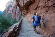
Bryce Canyon is located between Capitol Reef and Zion National Parks in south-central Utah near Tropic. Known for its majestic slot canyons and otherworldly hoodoo formations, the Bryce Amphitheater is overflowing with backcountry trailheads, making it a popular choice for hikers. Bryce Canyon is perfect whether you're planning a simple day hike or a more involved round trip round-up of Utah's greatest natural treasures. The park's many hiking trails will lead you to countless rock formations, arches, and spires by way of bristlecone pine patches and serene Douglas Fir forests.
What's more, Bryce Canyon's repertoire of popular trails includes everything from long and short hikes to strenuous and easy hikes, meaning the park has something in-store for everyone. While some of the park's best hikes feature sharp elevation changes and a severe collection of switchbacks, others are both a proverbial and literal walk-in-the-park. So strap on your favorite hiking boots and make sure to pack plenty of water because this guide will take you from parking lots to pine tree scenic views in no time!
Is Bryce Canyon National Park Open?
Although the park is open 24 hours a day all year round, roads and trails regularly shut down for various reasons. Similarly, the Bryce Canyon Visitor Center isn't open on Thanksgiving or Christmas. To guarantee access to sections of the park you wish to visit, be sure to check its website or call the office before setting out. Finally, for whatever it's worth, the park's busiest months are May through September.
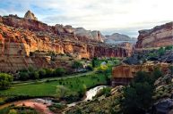
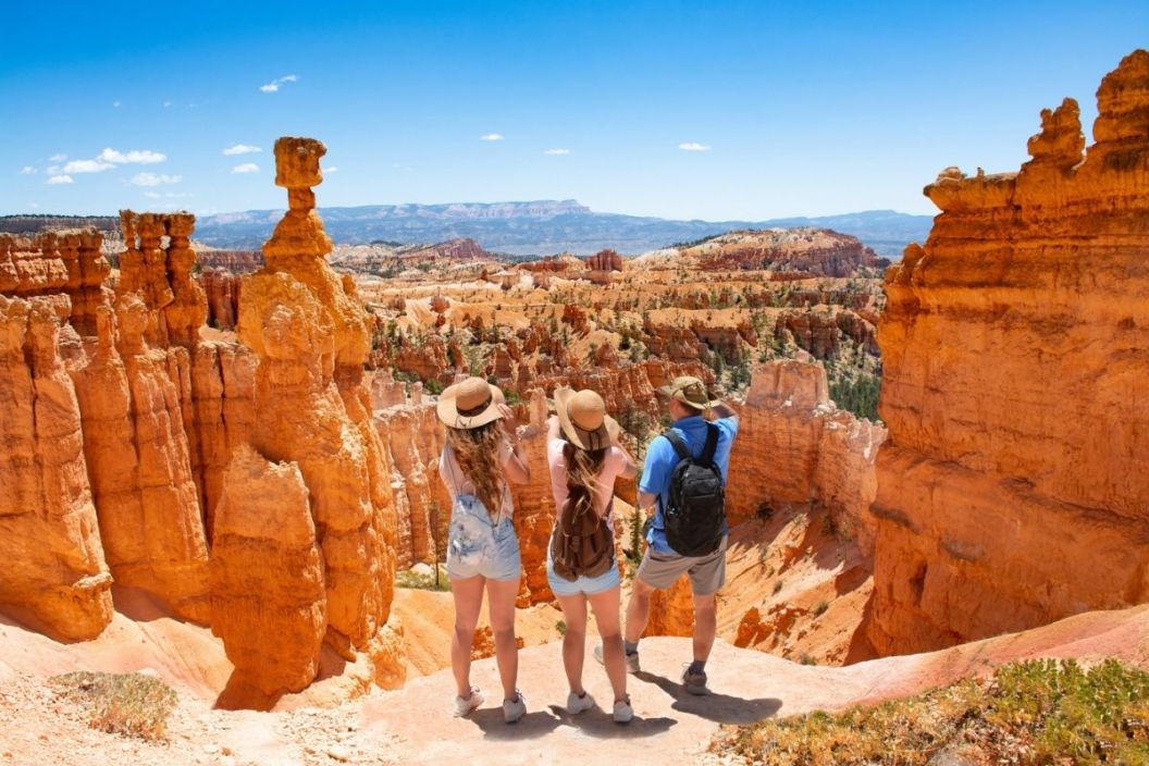
Bryce Canyon Hikes Map
nycshooter via Getty Images
If you're looking for a general map and guide of Bryce Canyon's trails, follow this link to the NPS's official pamphlet. While it covers a lot of useful information, it doesn't give a good indication of elevation gains. A quick Google search of "Bryce Canyon topographic maps" ought to do the trick if that's what you're looking for. There're tons of free topos available online.
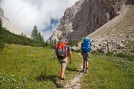
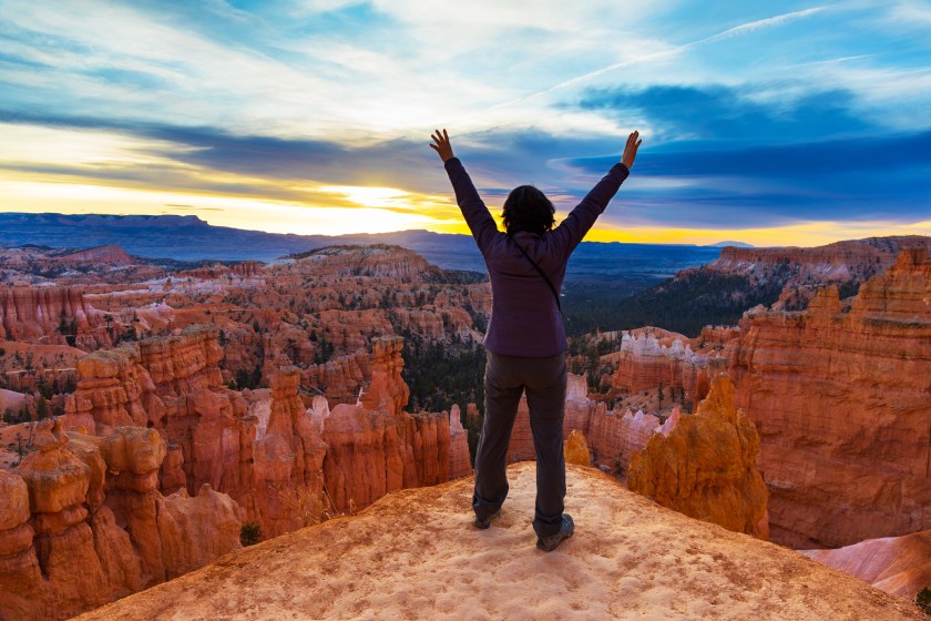
Best Bryce Canyon National Park Hikes
AscentXmedia via Getty Images
Below you'll find descriptions of some of the park's best hiking trails arranged in order of easiest to most difficult:
Mossy Cave Trail: A short and easy hike that leads to a grotto featuring icicles in winter and moss during the warmer months.
Sunset to Sunrise: Go from Sunset Point to Sunrise Point on a conveniently paved section of the Rim Trail. This is the park's most accessible trail, and dogs are welcome on it.
Rim Trail: A route of variable length (1-11 miles) that starts at Bryce Point, ends at Fairyland Point, and includes other "points" of interest such as Inspiration Point.
Bristlecone Loop Trail: A mild 1-mile fir forest walk near Rainbow Point.
Queen's Garden Trail: At nearly 2 miles in length, this moderate trail will lead you to a hoodoo spire known as Queen Victoria. The NPS bills this as the park's most popular trail.
Navajo Loop Trail: This medium difficulty 1.3-mile loop takes visitors past popular points of interest like Thor's Hammer, Two Bridges, and Wall Street.
Tower Bridge: A more rigorous 3-miler where you'll see bristlecones and the Chinese Wall.
Swamp Canyon Loop: Approximately 4 miles in length, this trail takes visitors to and through a more isolated park section.
Hat Shop: This 4-miler gets its name from balanced rock formations. With an elevation change of over 1,000 feet, it takes hikers along what is known as the Under-the-Rim-Trail.
Fairyland Loop Trail: Don't let the name fool you. This 8-mile hike from Fairyland Point takes visitors higher up than any other route in the park.
The Peek-a-boo Loop Trail: A steep 5-and-a-half-mile hike below the canyon rim leads to a Wall of Windows view.
What are your favorite Bryce Canyon hikes? Help out with walkabout on our Wide Open Roads Facebook!